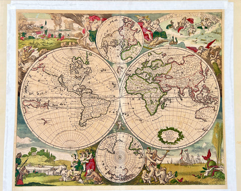
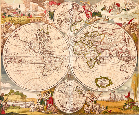
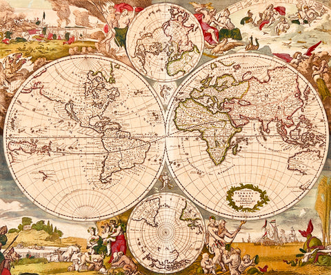
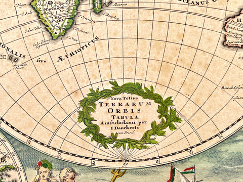
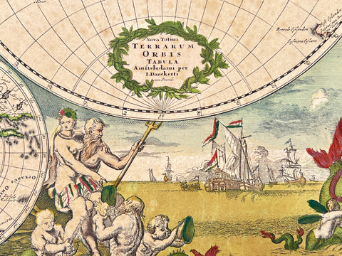
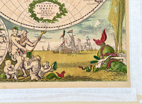

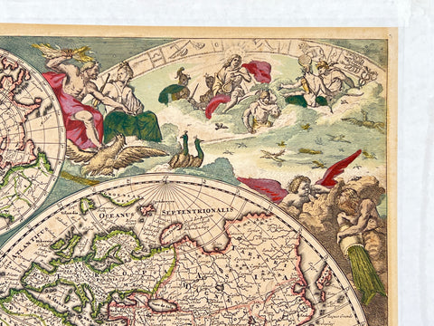
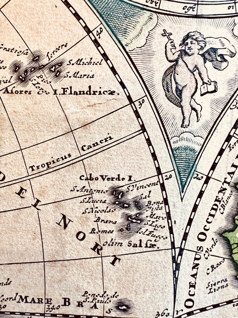
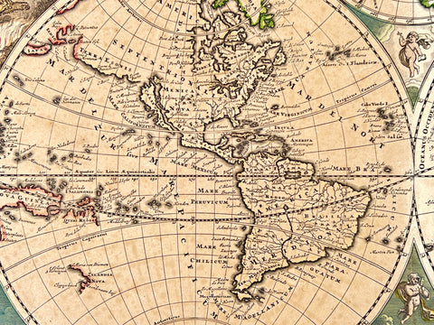
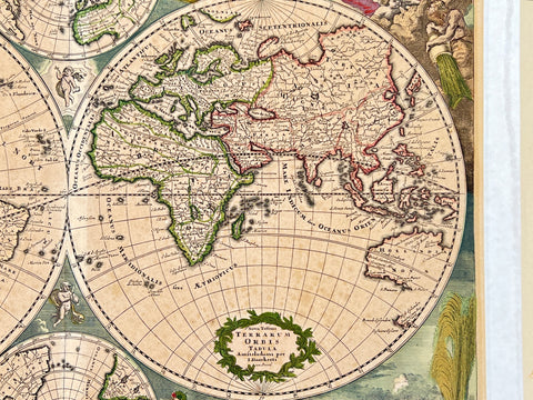
Nova Totius Terrarum Orbis Tabula 1660 by Justus Danckerts
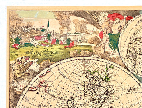
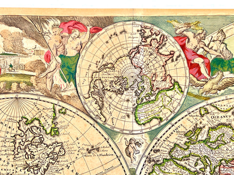
In Amsterdam in the late 1660s, Justus Danckerts created his first state of a double-page engraved decorative double-hemispheric world map, Nova Totius Terrarum Orbis Tabula.
53 cm x 60 cm 23.6 x 20.8 inches
Good condition, some sun colored and oxidized, mounted on a cardboard with gummed paper, one minor wrinkle.
This finely colored example, based upon De Wit's map of the same year, marks the beginning of Danckerts' career as a mapmaker.
It features four large allegorical scenes representing the elements, including fire, air, earth, and water, and shows California as an Island while omitting the Antarctic and having an incomplete coastline for Australia and New Zealand.
The map also depicts open ends in the Great Lakes and lacks a land bridge to Asia. Interestingly, an unfinished version of this map is found in the British Library and is believed to date back to the 1660s, possibly indicating that Danckerts may have created the map earlier than previously thought.